Are you dreaming about a home near the Snake River north of Jackson? It is easy to see the appeal. Wide mountain views, river access, and a strong sense of place make this stretch of the valley feel special, but buying here takes more than falling in love with the scenery.
If you are considering property along the Snake River corridor, you need to understand how access, floodplain conditions, setbacks, and county review can shape what you can actually do with a parcel. This guide will help you sort through the big questions so you can evaluate river-area property with more clarity and confidence. Let’s dive in.
Why This Area Draws Buyers
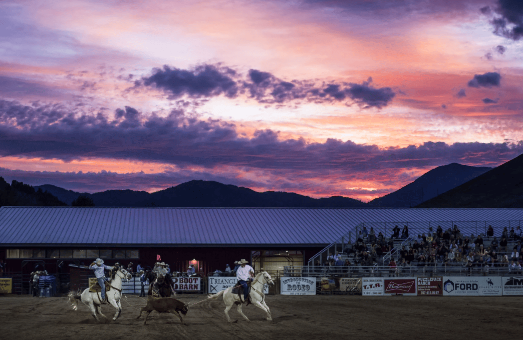
The Snake River corridor through Jackson Hole runs roughly 33 miles from Moose to Hoback, between Grand Teton National Park and Bridger-Teton National Forest. Teton County identifies this reach as an area known for boating, fishing, riverside recreation, and expansive mountain views. For many buyers, that combination creates a rare mix of scenery and year-round lifestyle appeal.
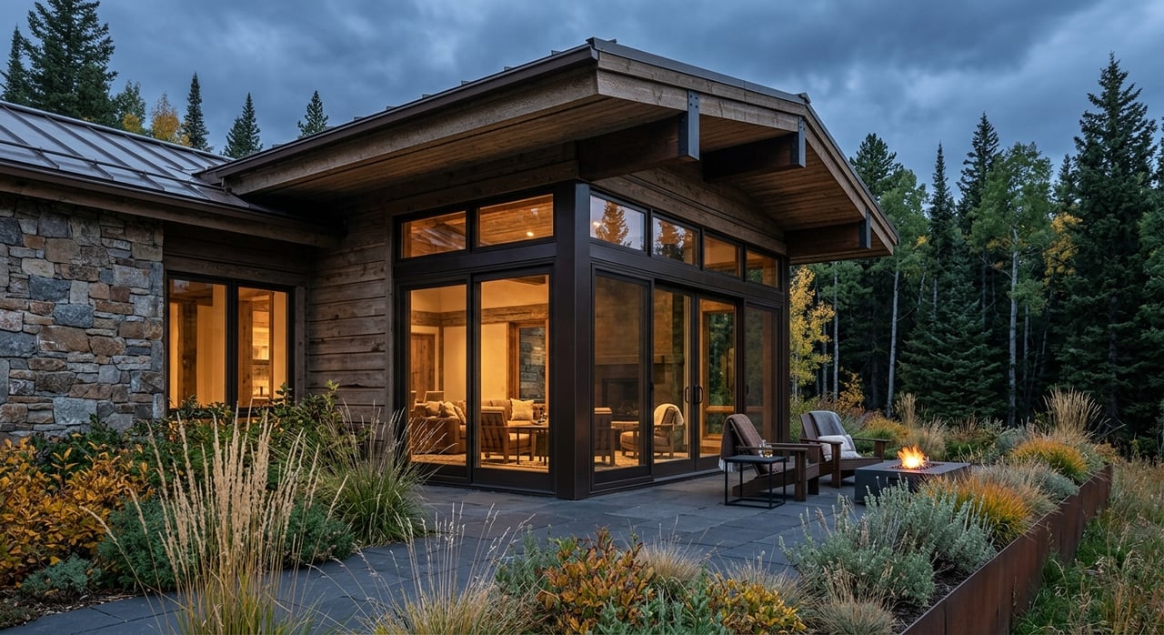
North of Jackson, the river can feel both close to town and deeply connected to the landscape. Some buyers are drawn to the visual calm of a river-view home set back from the channel, while others want land with more direct access or a stronger recreational connection. In this part of the market, small differences in location and property setup can matter quite a bit.
Understand the Snake River’s Nature
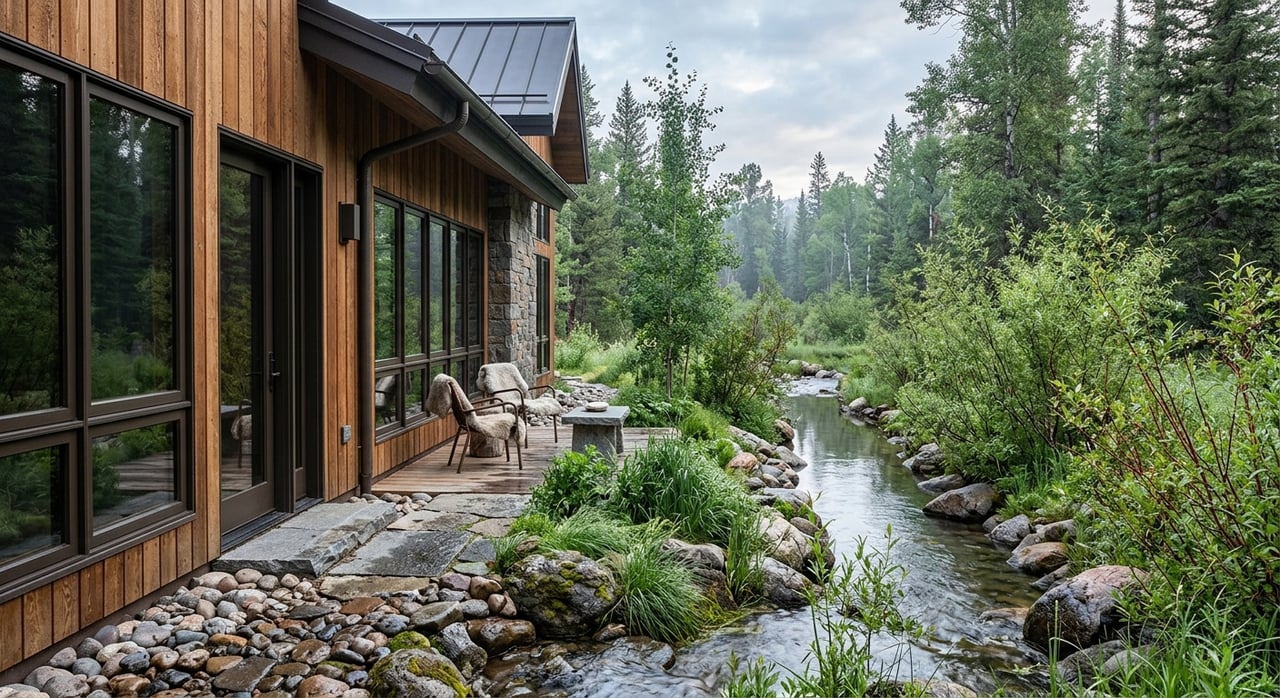
One of the most important facts to know is that the Snake River is not a fixed shoreline. The National Park Service describes the river below Jackson Lake Dam as a braided, multi-threaded river system, with channels, gravel bars, and floodplain features that shift over time. Peak flows typically occur from mid-May to mid-June, depending on snowpack and spring temperatures.
That matters because a property near the river is shaped by more than the current view out the window. River conditions, channel movement, and downstream flow patterns influenced by Jackson Lake Dam can all affect how land functions over time. In practical terms, you should think of river proximity as both an amenity and a planning issue.
Compare Property Types Carefully
When buyers look north of Jackson, they are often comparing a few very different property situations. On paper, two homes may both appear to be “near the Snake River,” but the ownership, access, and development realities can be very different.
Common setups include:
- Riparian or floodplain parcels near the river
- River-view homes set back from the channel
- Acreage influenced by nearby launch access and float activity
- Land affected by conservation easements or Natural Resource Overlay rules
A key question is whether a parcel has true river frontage, deeded or easement-based access, or simply proximity to public access points. Those are not the same thing, and the difference can shape your use, privacy, and long-term expectations.
River Access Is Not Always What It Seems
Access is one of the biggest points of confusion for buyers. Teton County created its Snake River map so boaters and landowners can identify whether they are on public or private land while floating the river. That tells you something important about this market: access lines matter, and they are worth verifying early.
If a listing mentions river access, you should ask for specifics. Does the parcel touch the river? Is access deeded? Is there a recorded easement? Or are you relying on nearby public launches instead of private access? Clear answers can help you avoid assumptions that lead to disappointment later.
Public Launches Shape the Experience
Some properties north of Jackson are influenced as much by access nodes as by the riverbank itself. Teton County manages public boat ramps at Wilson and South Park, and Grand Teton National Park identifies Moose Landing as the primary take-out for park float trips. These public facilities help support a strong recreation culture along the river.
That also means nearby homes and land can experience seasonal activity tied to float traffic and launch use. If privacy, quiet, or a more tucked-away feel is important to you, it helps to evaluate how a property feels during the busy summer season, not just during a showing.
Recreation Is a Major Benefit
For many buyers, the river lifestyle is a large part of the attraction. The Snake River supports fishing, wildlife viewing, scenic floating, and a close connection to the landscape. The National Park Service also notes that many species use the river corridor, including moose and beaver.
Teton County and Jackson Parks & Recreation manage the Wilson and South Park boat ramps, which are open to the public from May 1 through October 31, weather permitting. The county’s Snake River Management Plan covers the Moose-to-Wilson, Wilson-to-South Park, and South Park-to-Hoback segments, which means river recreation here is actively managed.
Recent improvements add another layer of value to the corridor. In 2025, Grand Teton National Park and its foundation completed the Snake River Gateways project at Moose Landing, Pacific Creek Landing, and Jackson Lake Dam, with improved launches, interpretive signage, native plant revegetation, and riverbank restoration intended to preserve riparian habitat.
Scenic Value Comes With Real Constraints
Along the Snake River, beautiful land often comes with rules meant to protect water, habitat, and flood-prone areas. Teton County’s water-quality planning treats the Snake River, riparian areas, wetlands, groundwater, and the Snake River Sole Source Aquifer as important resources. The county’s approach includes buffering waterbodies from development.
For a buyer, that means the most visually appealing parts of a parcel may not be the parts you can build on or alter. If you are buying land, planning an addition, or considering a major remodel, these constraints should be part of your decision from the start.
Know the Setback Rules
Teton County’s setback requirements are especially important for river-area property. According to the county, rivers require a 150-foot setback, wetlands require a 50-foot setback, and stream setbacks vary by stream type.
The county also states that these buffer areas must remain free of development, grading, construction, fences, storage, and similar uses. That can have a major impact on usable area, siting, and future plans. A large parcel may still have a limited practical building envelope once setbacks are applied.
Natural Resource Review Matters
As of May 1, 2025, Teton County requires a Natural Resource Assessment before any physical development permit or new use in the county, with some exemptions. If you are looking at vacant land or a property where you hope to make significant changes, this review is not something to treat as optional.
This is one reason river-area purchases benefit from careful up-front planning. A parcel that seems ideal for a new home, guest structure, or expanded footprint may require a deeper county review before plans can move forward.
Floodplain Review Should Be Early
Floodplain due diligence is another essential step. Teton County says FEMA is updating flood maps for the county, and the county advises that pending products should be applied to development proposals in flood-prone areas. The county also notes that floodplain boundaries do not always align neatly with aerial basemaps.
In simple terms, you should not rely on a casual map glance when evaluating a river parcel. Exact interpretations can affect insurability, design, financing considerations, and what may be feasible on the site.
Wild and Scenic Status Does Not Replace Local Review
The Snake River Headwaters were designated a Wild and Scenic River in 2009. The National Park Service says that designation preserves the river’s free-flowing character, water quality, and other outstanding values.
For private buyers, the important takeaway is that this federal designation does not give the National Park Service authority to regulate non-federal lands. Local zoning, easements, surveys, setbacks, and county permitting remain the key tools for understanding what a private parcel allows.
Questions to Ask Before You Buy
If you are seriously considering buying near the Snake River north of Jackson, focus on a few practical questions early in the process.
Ask these first:
- Does the parcel have true river frontage, deeded access, or only proximity to a public launch?
- Is any part of the property inside a river setback, wetland buffer, floodplain, or Natural Resources Overlay tier?
- Does your intended use trigger a Natural Resource Assessment or other county review?
- How close is the property to Wilson, South Park, or Moose access activity?
- What does the developable area look like once setbacks and floodplain constraints are applied?
These questions help move the conversation from lifestyle marketing to real-world property function. That is especially important in a place where natural systems and land-use review play such a central role.
Build the Right Local Team
For parcel-specific questions, Teton County’s floodplain materials recommend working with the Floodplain Administrator or a local professional such as an engineer, architect, hydrologist, or surveyor. That level of local expertise is often the best way to interpret setbacks, elevations, and developable area accurately.
As a buyer, you also benefit from working with a real estate team that understands how river access, land-use review, and seasonal recreation patterns affect value and fit. In a market like Jackson, that local guidance can help you see past the postcard view and make a more informed decision.
Buying near the Snake River north of Jackson can be incredibly rewarding when the property matches your goals and you understand the constraints that come with it. If you want thoughtful guidance on homes, land, or river-area opportunities in the Teton region, Jennifer Reichert is here to help with local insight and personalized support.
FAQs
What should you verify when buying near the Snake River north of Jackson?
- You should verify whether the property has true river frontage, deeded access, or only proximity to public launches, and whether setbacks, wetlands, floodplain conditions, or county review affect the parcel.
How do Teton County river setbacks affect Snake River property?
- Teton County states that rivers require a 150-foot setback, and those buffer areas must remain free of development, grading, construction, fences, storage, and similar uses.
Are Snake River properties north of Jackson in a floodplain?
- Some may be, and Teton County notes that floodplain boundaries do not always align cleanly with aerial basemaps, so parcel-specific review is important.
Do public boat ramps affect homes near the Snake River in Jackson Hole?
- They can, because Wilson and South Park ramps are public and seasonal, and Moose Landing serves as a major float take-out, which can influence activity levels and privacy expectations nearby.
What is a Natural Resource Assessment in Teton County, Wyoming?
- As of May 1, 2025, Teton County requires a Natural Resource Assessment before any physical development permit or new use in the county, with some exemptions.
Is buying land near the Snake River north of Jackson different from buying an in-town home?
- Yes, because river-area land may involve setbacks, floodplain review, access questions, and natural resource constraints that require more technical due diligence.